

Where to stay in Iceland
See the hotels and apartments available on Booking.com · This is an affiliate link with our partner. Europe by Giddo may earn a commission from a purchase made through it, at no extra cost to you.
Iceland sits on the Mid-Atlantic Ridge where two tectonic plates pull apart, which is why the island is still being built by volcanoes and torn open by rifts. Almost everything travellers come for is a consequence of that geology.
Our partner
Travel insurance · 5% off for our readers
Get a quoteReykjavík is the small northern capital, with the Hallgrímskirkja church, the Harpa concert hall on the harbour and a walkable centre. Most visits use it as a base for the Golden Circle: Þingvellir, where the parliament met from 930 and where the plates are visibly separating; the Geysir hot spring area; and the two-tier Gullfoss waterfall.
The south coast strings together Seljalandsfoss and Skógafoss, the black sand beach at Reynisfjara, the glacier tongues of Vatnajökull and, further on, the Jökulsárlón lagoon where icebergs drift to the sea and wash up on the sand. Vatnajökull is the largest ice cap in Europe.
The Ring Road circles the whole island in about 1,300 kilometres. It reaches Mývatn's craters and steam vents in the north, the whale-watching harbour of Húsavík, and Akureyri, the northern town at the head of a long fjord. The Westfjords in the far north-west are remote, cliff-bound and home to enormous seabird colonies at Látrabjarg.
The interior highlands open only in high summer and only to suitable vehicles: Landmannalaugar's rhyolite hills and the Laugavegur trail to Þórsmörk are the best-known routes. Geothermal bathing is everywhere, from the Blue Lagoon near the airport to town pools that locals use daily.
Weather changes fast and closes roads without much notice, so plans need slack. Summer brings almost continuous daylight; the dark months bring the northern lights. Icelandic is the language and English is universal.
Almost everyone arrives at Keflavík, and almost everyone underestimates driving times: distances look short but roads are slow and the weather rewrites plans. A four-wheel drive is required for the interior F-roads and they open only in high summer. Iceland works as a stopover of a few days between Europe and North America, or as a full circuit of the Ring Road over ten days or more.
Common questions
- What is the capital of Iceland?
- The capital of Iceland is Reykjavík.
- What currency is used in Iceland?
- Iceland uses the Icelandic króna (ISK).
- What language is spoken in Iceland?
- The official language is Icelandic.
- When is the best time to visit Iceland?
- Cool all year, windy and changeable; near-continuous daylight in June, very short days in December.
- Which side of the road do you drive on in Iceland?
- In Iceland you drive on the right.
- What plug sockets are used in Iceland?
- Iceland uses type C, F sockets.
- What is the dialling code for Iceland?
- The international dialling code for Iceland is +354.
Partner
Inside Iceland
Regions
10 to explore
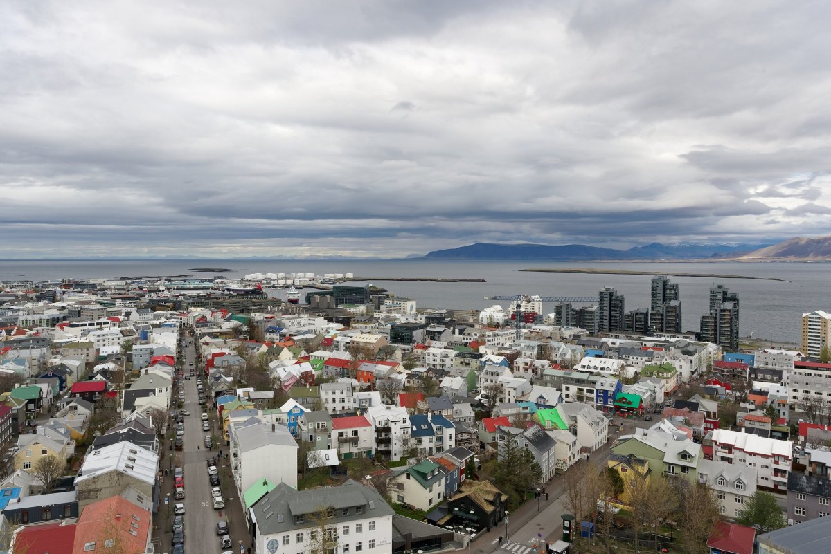
Capital Region
Region
The corner of the island where most Icelanders live, on a peninsula of lava between sea and mountain.
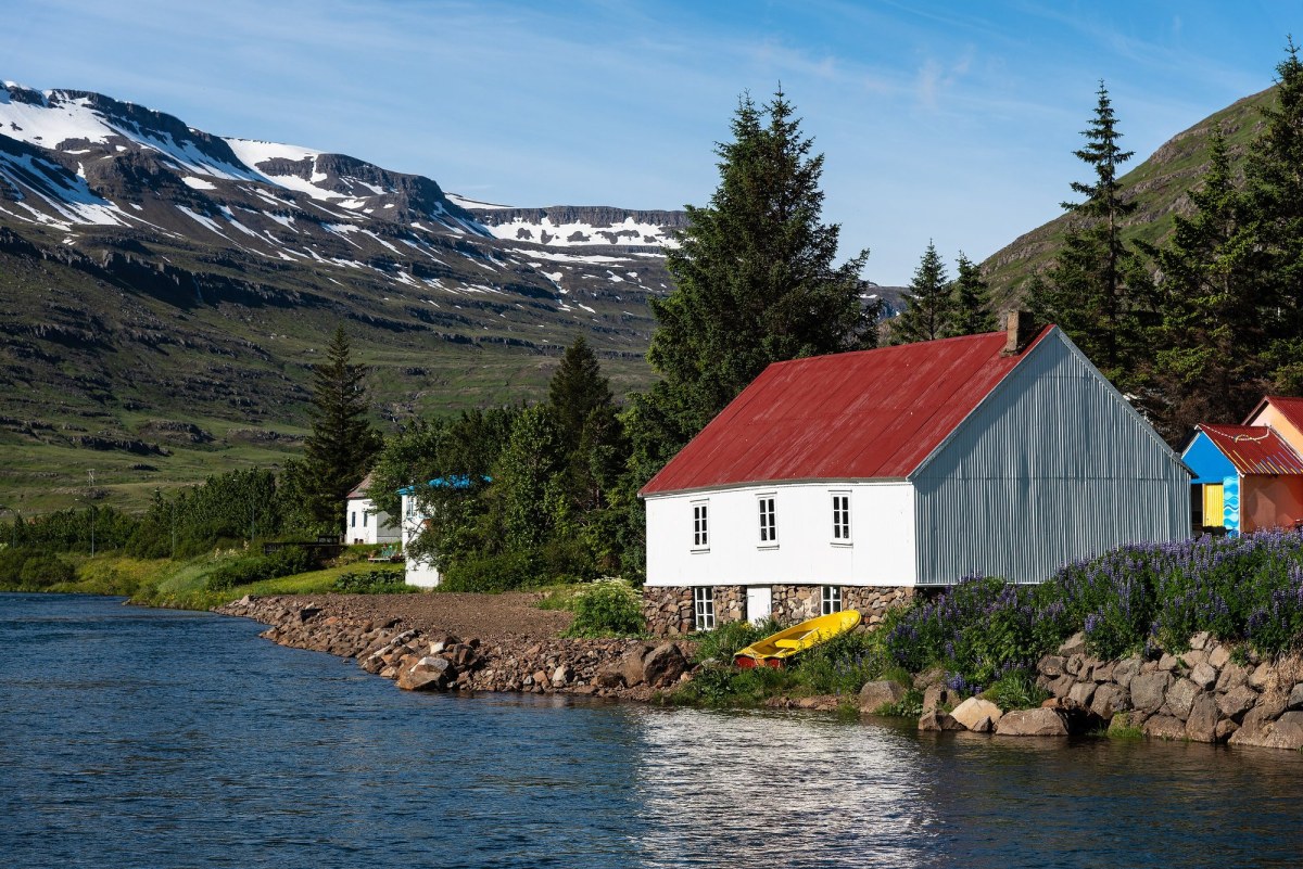
East Iceland
Region
Narrow fjords, the country’s only substantial forest, and reindeer on the moors.
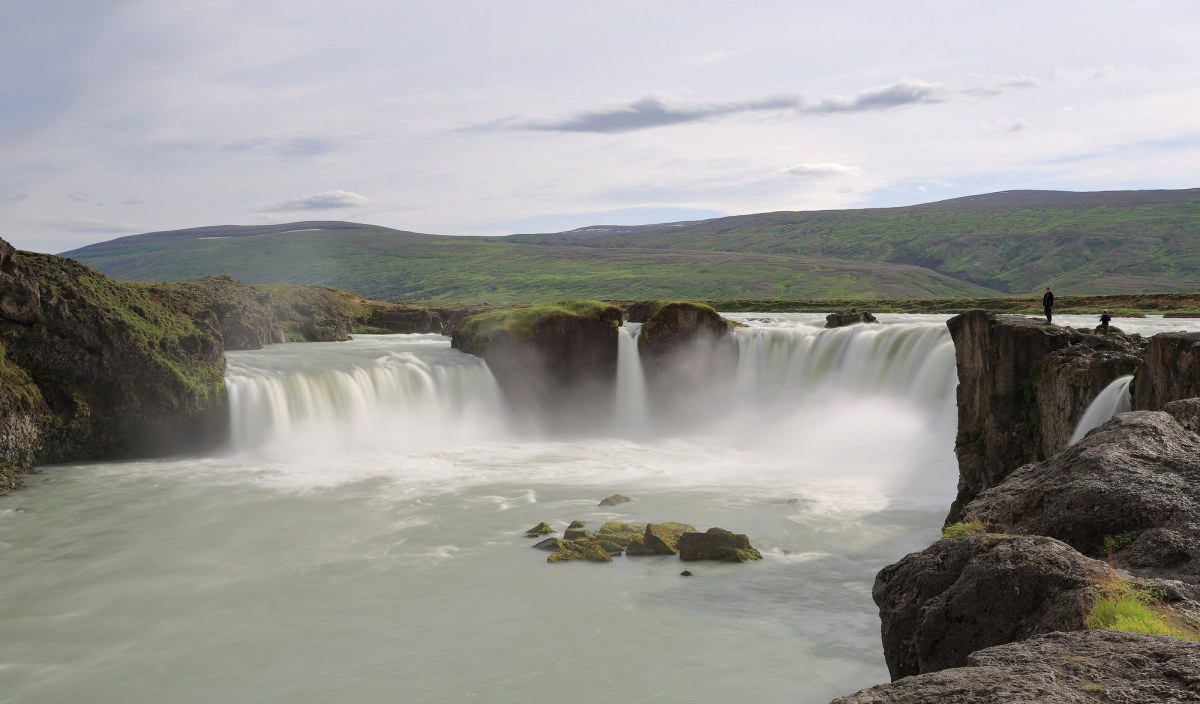
North Iceland
Region
Long fjords, whale bays and the country’s most active volcanic ground around a lake.
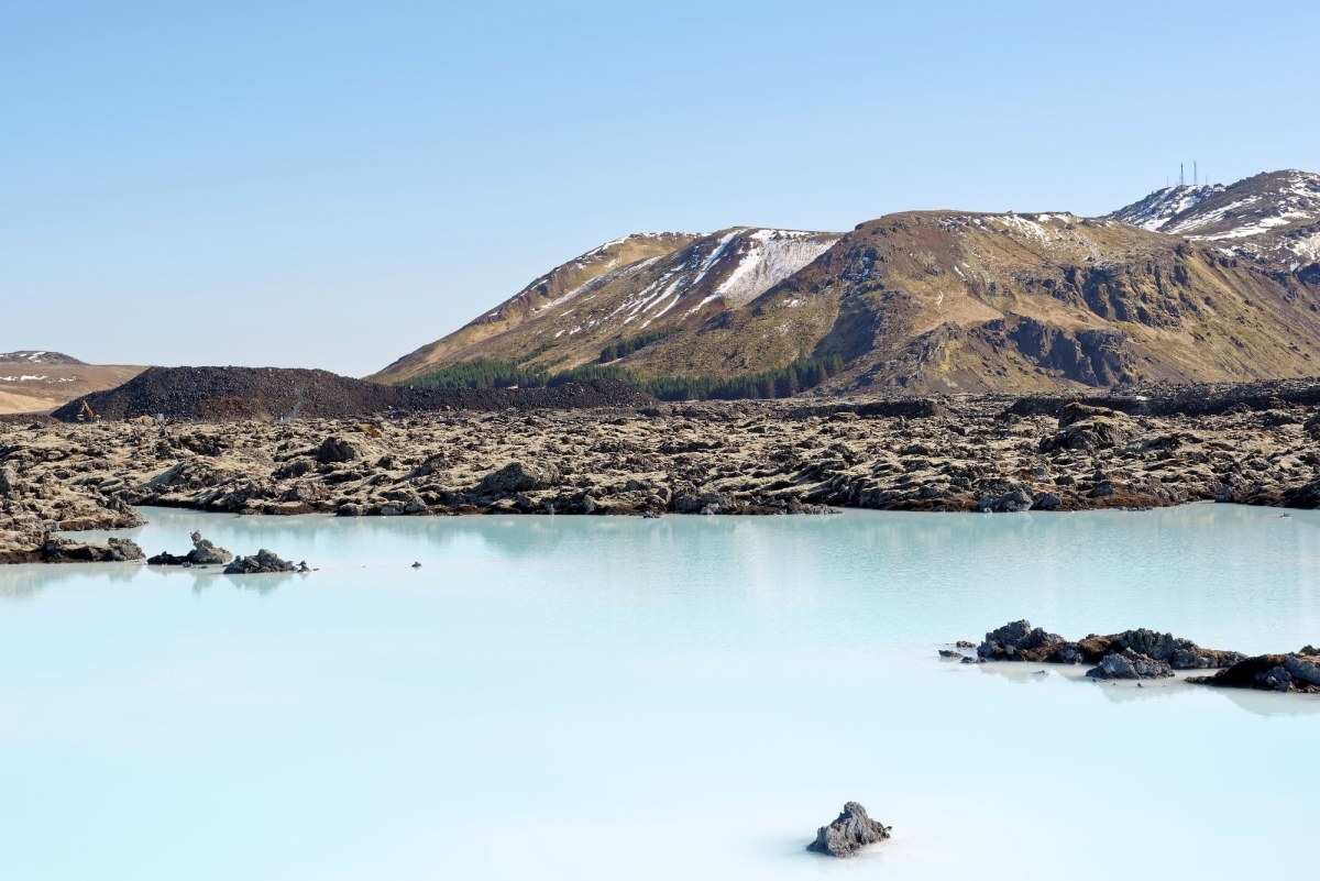
Reykjanes Peninsula
Region
The lava peninsula the airport sits on, where the mid-Atlantic ridge comes ashore and has started erupting again.
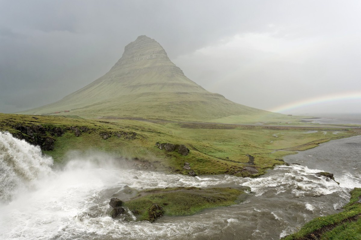
Snæfellsnes Peninsula
Region
A peninsula with a glacier-topped volcano at the end, often called Iceland in miniature.
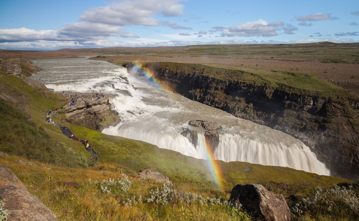
The Golden Circle
Region
A short loop inland from the capital taking in a rift valley, a waterfall and an erupting spring.
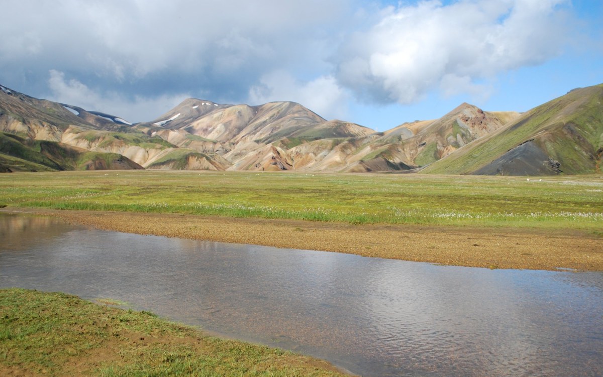
The Highlands
Region
The uninhabited interior: gravel, glaciers and coloured rhyolite, open for a few months a year.
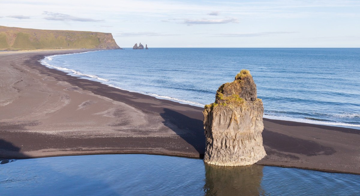
The South Coast
Region
Waterfalls, black beaches and glacier tongues along a single road under the ice caps.
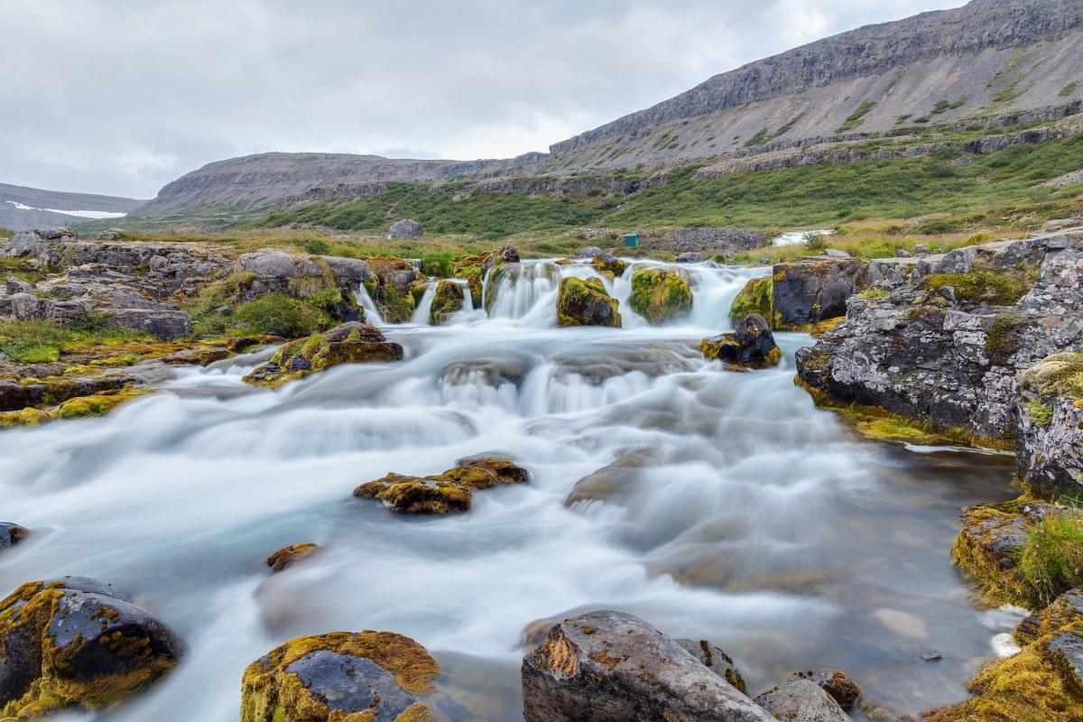
The Westfjords
Region
A remote peninsula of flat-topped mountains and deep fjords, with the biggest bird cliff in Europe.
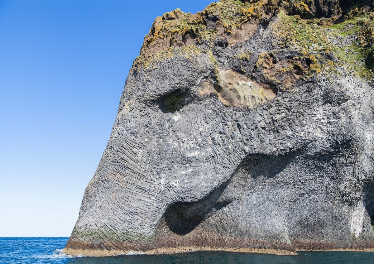
Westman Islands
Region
A volcanic archipelago off the south coast where a town was half buried by an eruption in 1973.
Inside Iceland
Towns and cities
12 to explore
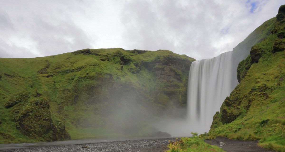
Akureyri
Town or city
The capital of the north, at the head of a long fjord, with a botanical garden that should not work.
Egilsstaðir
Town or city
The inland town of the east, beside a long lake with a monster in it and a forest beside it.
Grindavík
Town or city
A fishing town on the Reykjanes lava coast, beside the Blue Lagoon and lately beside an eruption.
Hafnarfjörður
Town or city
A harbour town built into a lava field next to the capital, with a Viking festival and elf stories.
Heimaey
Town or city
The only inhabited island of the Westman group, half rebuilt after the volcano that nearly ended it.
Húsavík
Town or city
A northern fishing town that became the whale-watching capital of Europe, with a song about it.
Ísafjörður
Town or city
The town of the Westfjords, on a spit inside a fjord under flat-topped mountains.
Reykjavík
Town or city
The northernmost capital in the world, low-built and colourful, with a concert hall of glass on the harbour.
Selfoss
Town or city
The service town of the south, on the Ölfusá, with a new old town built out of copied houses.
Stykkishólmur
Town or city
A tidy harbour town of old timber houses on Breiðafjörður, with a church like a ship’s prow.
Vík í Mýrdal
Town or city
The southernmost village on the mainland, under a glacier and above a black beach.
Inside Iceland
Landmarks
12 to explore
Blue Lagoon
Landmark
A milky blue geothermal lagoon in a black lava field, and an accident of industry.
Dettifoss
Landmark
A grey, thunderous waterfall in a desert canyon, the most powerful in Europe by volume.
Gullfoss
Landmark
A two-stage waterfall dropping into a canyon at right angles, and the woman who saved it.
Hallgrímskirkja
Landmark
A concrete church on the hill above Reykjavík, shaped from basalt columns, with the city’s best view.
Harpa
Landmark
A concert hall on the Reykjavík waterfront with a facade of glass cells, finished after the crash that nearly stopped it.
Jökulsárlón
Landmark
A lagoon of floating icebergs at the foot of a glacier, draining to a beach where they wash up.
Kirkjufell
Landmark
A steep isolated mountain on the Snæfellsnes shore, and the most photographed in Iceland.
Reynisfjara
Landmark
A black sand beach under a cliff of basalt columns, with sea stacks offshore and a genuinely dangerous surf.
Seljalandsfoss
Landmark
A waterfall that can be walked behind, off the old sea cliff on the south coast.
Skógafoss
Landmark
A broad, heavy waterfall with a staircase beside it and a long trail running on over the pass.
Þingvellir
Landmark
A rift valley between two continents where the Icelandic parliament met in the open air from 930.
Plan the trip
Explore Iceland
Start with the regions, then the towns, then the sights worth a detour — each with its own page and its own pin on the map.
Start anywhere and follow the links. The guides and itineraries join these places into routes you can actually travel.
Credit: Europe by Giddo
Every place above is on this map. The lists on this page are the same content in the same order.